Capitol Reef National Park - map, photos and other informations

Table of Contents
Description
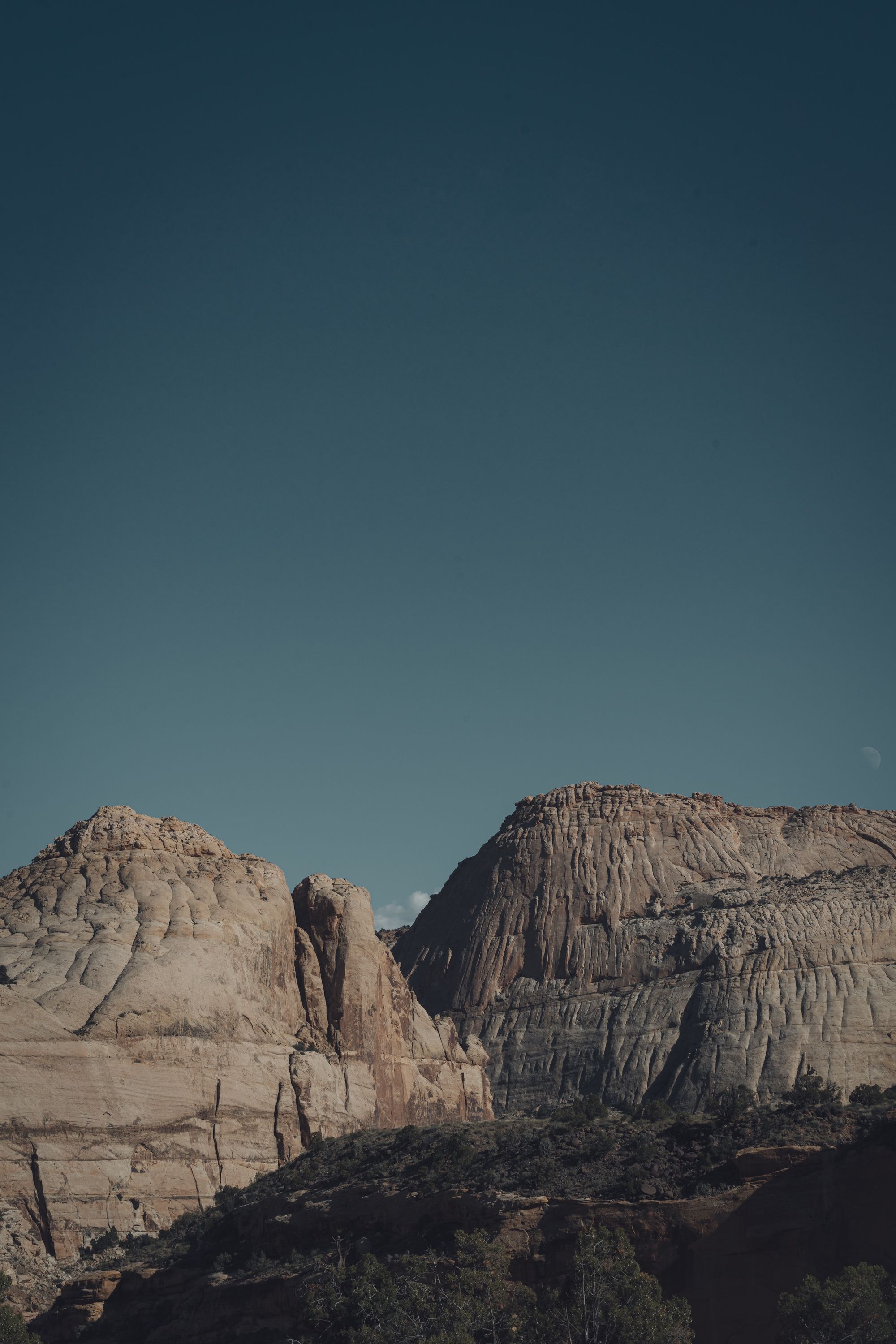
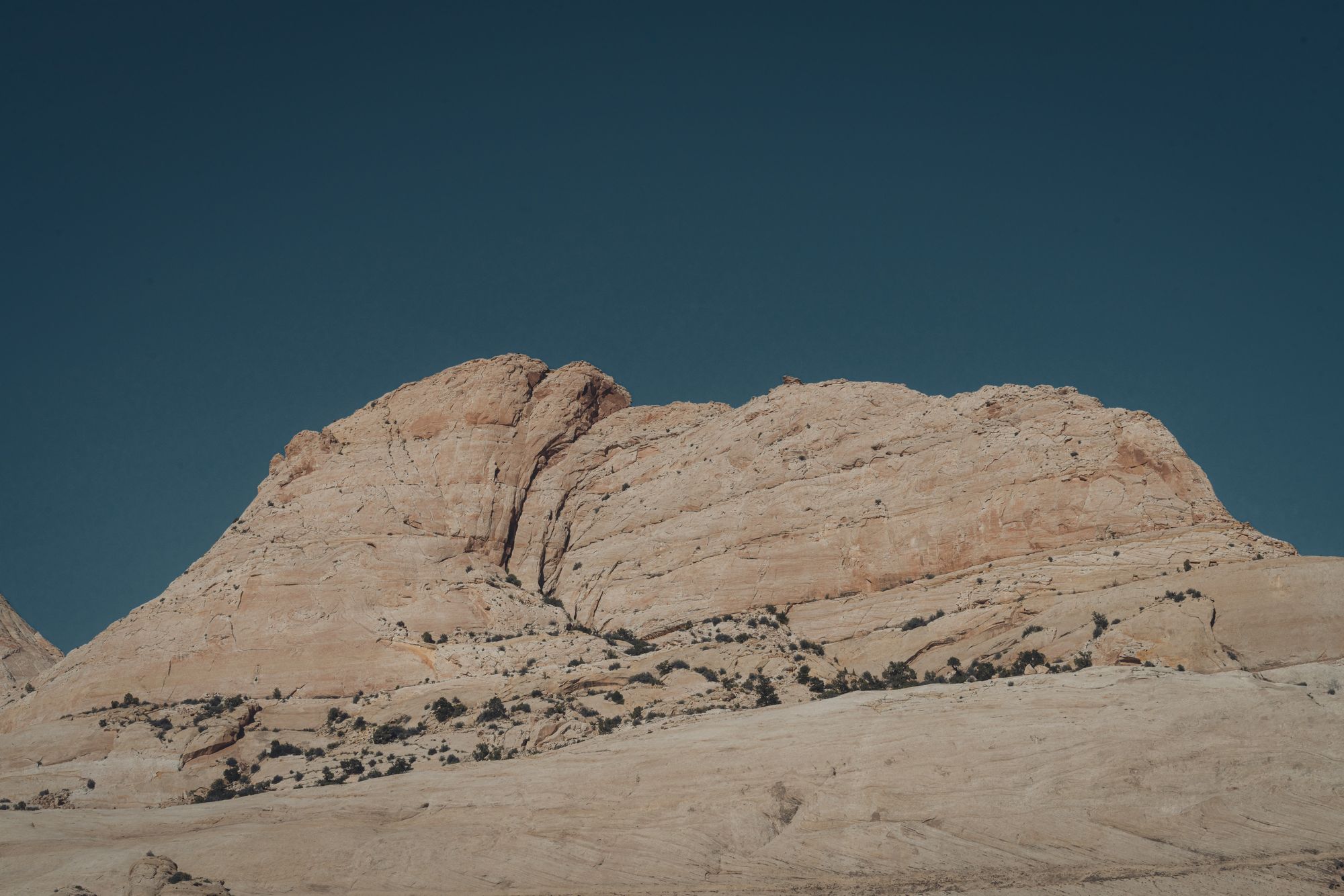
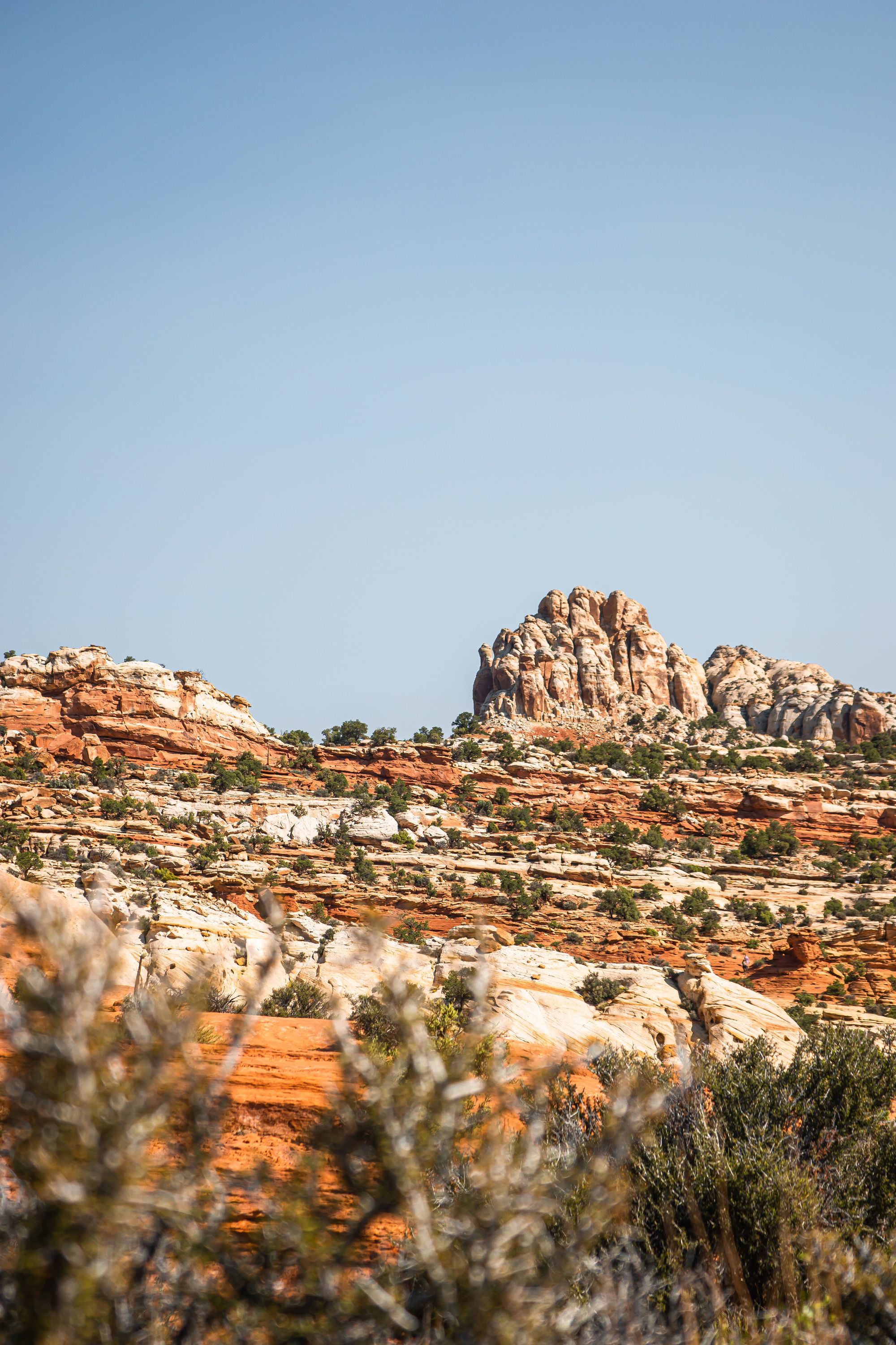
Capitol Reef National Park is a United States National Park located in south-central Utah. The park is approximately 60 miles (97 km) long and up to 12 miles (19 km) wide, making it Utah's largest national park and the fourth largest in the contiguous United States. Within the park lies the Waterpocket Fold, a 100-mile (160 km) monocline that represents one of the most complete and exposed geologic folds in North America. Capitol Reef is thus named because of the white domes of rock that resemble the United States Capitol building in Washington, D.C.
The park was established in 1971 to preserve the watershed of the Fremont River and other natural and cultural resources in the Waterpocket Fold. The park includes the Capitol Reef National Park Visitor Center, the Fremont River, the Fruita Historic District, the Cathedral Valley, the Cohab Canyon, the Grand Wash, and the Capitol Gorge. More than 400 species of plants and animals inhabit the park.
Capitol Reef National Park is open all year round, 24 hours a day. However, some roads and trails may close due to weather conditions. The park has two visitor centers: the Fruita Visitor Center and the Capitol Reef Visitor Center. The Fruita Visitor Center is located in the Fruita Historic District and is open all year round. The Capitol Reef Visitor Center is located near the park's entrance and is open all year round.
There are many things to do in Capitol Reef National Park. Hiking, backpacking, camping, and picnicking are just some of the activities that visitors can enjoy. There are also many ranger-led programs, such as walks, talks, Junior Ranger programs, and Junior Ranger activities.
The park is also home to many historic and geological sites. The Fruita Historic District, the Capitol Gorge, and the Cathedral Valley are just some of the places that visitors can explore.
Capitol Reef National Park is a great place to visit for anyone who loves the outdoors. With so much to see and do, the park is sure to please everyone.
Photos of Capitol Reef National Park
Frequently Asked Questions (FAQ) about Capitol Reef National Park
Where is Capitol Reef National Park located?
Capitol Reef National Park is located in south-central Utah, United States. It is adjacent to Canyonlands National Park and Bryce Canyon National Park.
What to do in Capitol Reef?
There are plenty of things to do in Capitol Reef National Park! Hiking, camping, picnicking, and sightseeing are all popular activities. Guided tours are also available for a fee.
Why is it called Capitol Reef?
It is called Capitol Reef because of the white domes of Navajo Sandstone that resemble the United States Capitol building.
What is this park famous for?
Capitol Reef National Park is famous for its geology, which includes the Waterpocket Fold, a 100-mile (160-km) monocline that is the largest exposed monocline in the United States.
Are dogs allowed at the park?
Dogs are not allowed on any trails or in the backcountry of Capitol Reef National Park. They are allowed in developed areas, on paved roads, and in campgrounds if they are kept on a leash at all times.
Average weather in Capitol Reef National Park
|
|
|
|
|
|
|---|---|---|---|---|
| Jan | 3 °C | -9 °C | 3 mm | 11 mm |
| Feb | 5 °C | -7 °C | 3 mm | 9 mm |
| Mar | 11 °C | -2 °C | 9 mm | 10 mm |
| Apr | 16 °C | 2 °C | 12 mm | 5 mm |
| May | 21 °C | 7 °C | 17 mm | 3 mm |
| Jun | 29 °C | 13 °C | 7 mm | 0 mm |
| Jul | 31 °C | 17 °C | 23 mm | 0 mm |
| Aug | 29 °C | 15 °C | 26 mm | 0 mm |
| Sep | 25 °C | 11 °C | 23 mm | 0 mm |
| Oct | 17 °C | 4 °C | 14 mm | 2 mm |
| Nov | 10 °C | -2 °C | 6 mm | 8 mm |
| Dec | 3 °C | -8 °C | 4 mm | 13 mm |
Other parks nearby
-
 Anasazi State Park Museum24.3 mi (39.0 km)|state park
 -
Goblin Valley State Park35.6 mi (57.3 km)|state park
-
Escalante Petrified Forest State Park37.3 mi (60.1 km)|state park
-
Otter Creek State Park46.1 mi (74.2 km)|state park
-
Piute State Park56.3 mi (90.7 km)|state park
User Reviews
Share your experience! Your honest feedback helps others make informed decisions.
Login to add new review