Canyonlands - map, photos and other informations
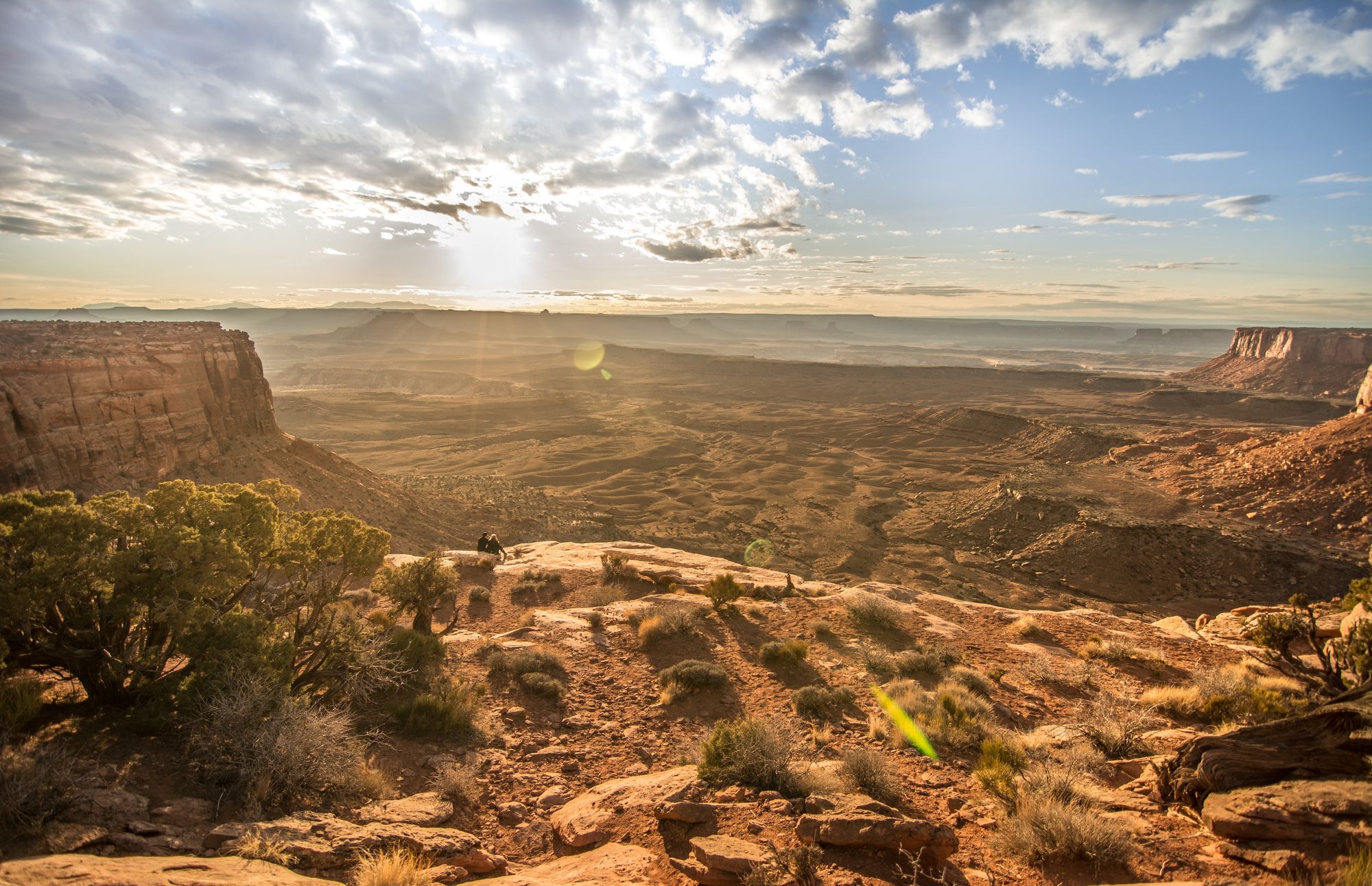
Table of Contents
Canyonlands National Park in southeastern Utah is a place where the choice of entrance shapes the whole visit. Island in the Sky offers overlooks and short walks above the canyons. The Needles has a separate network of desert trails. The Maze and river corridors require more planning. Start with one district: there is no road through the park that connects them.
Highlights of Canyonlands
- Island in the Sky: combine roadside canyon views with a walk to Mesa Arch or along Grand View Point.
- The Needles: explore sandstone country on short interpretive walks or commit to a longer hike toward Chesler Park.
- Remote routes: the White Rim Road, the Maze, and river trips offer different ways into the backcountry, with permits and preparation to match.
- After dark: leave time for stargazing, or ask about ranger programs before the visitor center closes.
Plan your visit
Fees, hours, and seasonal access
| Topic | What to expect |
|---|---|
| Entrance fees | A private vehicle with up to 15 passengers costs $30. Entry on foot or by bicycle costs $15 per person age 16 or older. Island in the Sky and Needles entrance stations accept credit or debit cards. Camping and permit charges are separate. |
| Opening hours | The park is open 24 hours a day throughout the year. Visitor centers have separate schedules, and some facilities close in winter. |
| Seasonal access and closures | Expect heavier traffic from March through November. Rain and snow can make unpaved roads impassable. Winter weather can also affect access, even when the park itself remains open. |
Check the official entrance fees and pass rules before paying, especially if you plan to use an annual pass.
Heat, canyon edges, and backcountry roads
Carry at least one gallon of water per person per day, as the park recommends, and avoid strenuous activity during the hottest hours. Do not rely on cell service for navigation or help. Canyon-edge walks can have exposed drop-offs, so keep children close and give the edge space.
A road shown on a map is not necessarily suitable for your vehicle. White Rim Road requires a high-clearance four-wheel-drive vehicle with low-range gearing; all-wheel drive is not allowed. Review the district road conditions before leaving pavement. Rain can change a route quickly, and remote travel requires water, fuel, and appropriate vehicle equipment.
Protect the desert and cultural sites
Stay on established trails to protect fragile soil. Leave trail cairns in place rather than building new stacks of rocks. Do not climb, stand on, or scramble over arches. At archaeological sites, do not enter structures or touch rock art.
Pets cannot join hikes, including when carried, and are not allowed at overlooks or inside visitor centers. They can use designated frontcountry areas such as developed campgrounds, picnic areas, and parking areas on a leash no longer than six feet. Check district restrictions before including a pet in a backcountry road trip.
Entrance, camping, and permit requirements
You do not need a timed-entry reservation to enter Canyonlands. That does not remove the need for activity permits. Day trips by four-wheel-drive vehicle, motorcycle, or bicycle require permits on White Rim Road, Elephant Hill, Lavender Canyon, and Peekaboo/Horse Canyon roads. Overnight backcountry trips and all river trips also need permits.
Island in the Sky camping is first come, first served. Some individual sites in the Needles Loop B can be reserved in spring and fall. Use the park permit and reservation guide to select the correct booking system for your route and dates.
Maps, district entrances, and access
For Island in the Sky, take UT 313 from US 191 north of Moab. For the Needles, use UT 211 from US 191 south of Moab. Access to the Maze is by unpaved roads. These are separate approaches, not alternative gates on a single scenic loop.
Download the official district maps before traveling. Use the map for your chosen district, and carry a detailed topographic map for a backcountry trip. A general park pin is not a substitute for a specific trailhead or entrance.
Nearby parks from the Moab side
- Dead Horse Point State Park: reached by UT 313, this is a straightforward additional stop when using the Island in the Sky approach.
- Arches National Park: its entrance is on US 191 north of Moab, making it another practical park to visit while based in the area.
Choose walks that fit your district
- Mesa Arch: a 0.6-mile round-trip walk at Island in the Sky. The short distance does not remove the cliff-edge hazard.
- Grand View Point: a 1.8-mile round-trip rim walk. It suits visitors who want to spend more time on foot after the overlook.
- Pothole Point: a 0.6-mile loop in the Needles on uneven slickrock.
- Cave Spring: a 0.6-mile Needles loop with two ladders, a historic cowboy camp, and rock art.
Longer hikes, backcountry driving, and river journeys need their own itinerary. Avoid treating them as an extra stop after a full day of sightseeing. Ranger programs can provide a shorter introduction to the landscape without committing to a remote route.
Water, campsites, and accessible stops
Bring food and fuel into the park. There are no restaurants, lodging, or gas stations inside Canyonlands. At Island in the Sky, water is available inside the visitor center during business hours and outside seasonally. There is no water at the Island in the Sky campground. The Needles visitor center has water year-round, while campground water is seasonal. The Maze has no running water.
Island in the Sky and Needles visitor centers have accessible parking, toilets, and picnic tables. Wheelchair-accessible overlooks at Island in the Sky include Buck Canyon, Green River, and Grand View Point. This does not mean the full trails beyond them are accessible. Review the park's mobility information for surfaces and facilities at each district.
About Canyonlands National Park
A landscape with continuing connections
Human history here reaches back more than 10,000 years. The park describes enduring connections with Hopi, Paiute, Navajo, Ute, Zuni, and other Pueblo communities. Archaeological places are part of that continuing relationship with the land, rather than objects to explore or handle. Later uses of the landscape include ranching, reflected in places such as Cave Spring.
Wildlife on a desert schedule
Some animals are easiest to notice when the day is cooler. Mule deer, coyotes, and cottontails are active around dawn and dusk. Lizards and hawks may be visible during daylight, while bats, ringtails, and bobcats are among the animals active at night. A quiet daytime trail does not mean the landscape is empty.
Contact Canyonlands
General visitor information: 435-719-2313. For district-specific questions, call Island in the Sky at 435-241-1314, the Needles at 435-259-4711, or Hans Flat Ranger Station at 435-241-3105.
The mailing address is Canyonlands National Park, 2282 SW Resource Blvd., Moab, UT 84532. This is not a district entrance. The official contact page includes the backcountry office and email options.
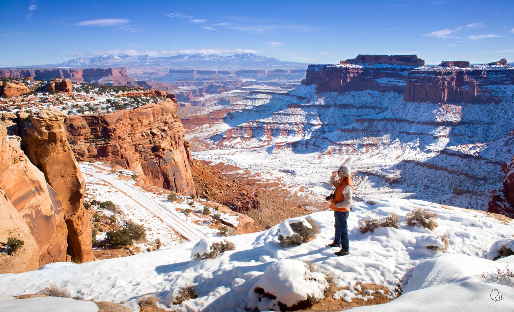
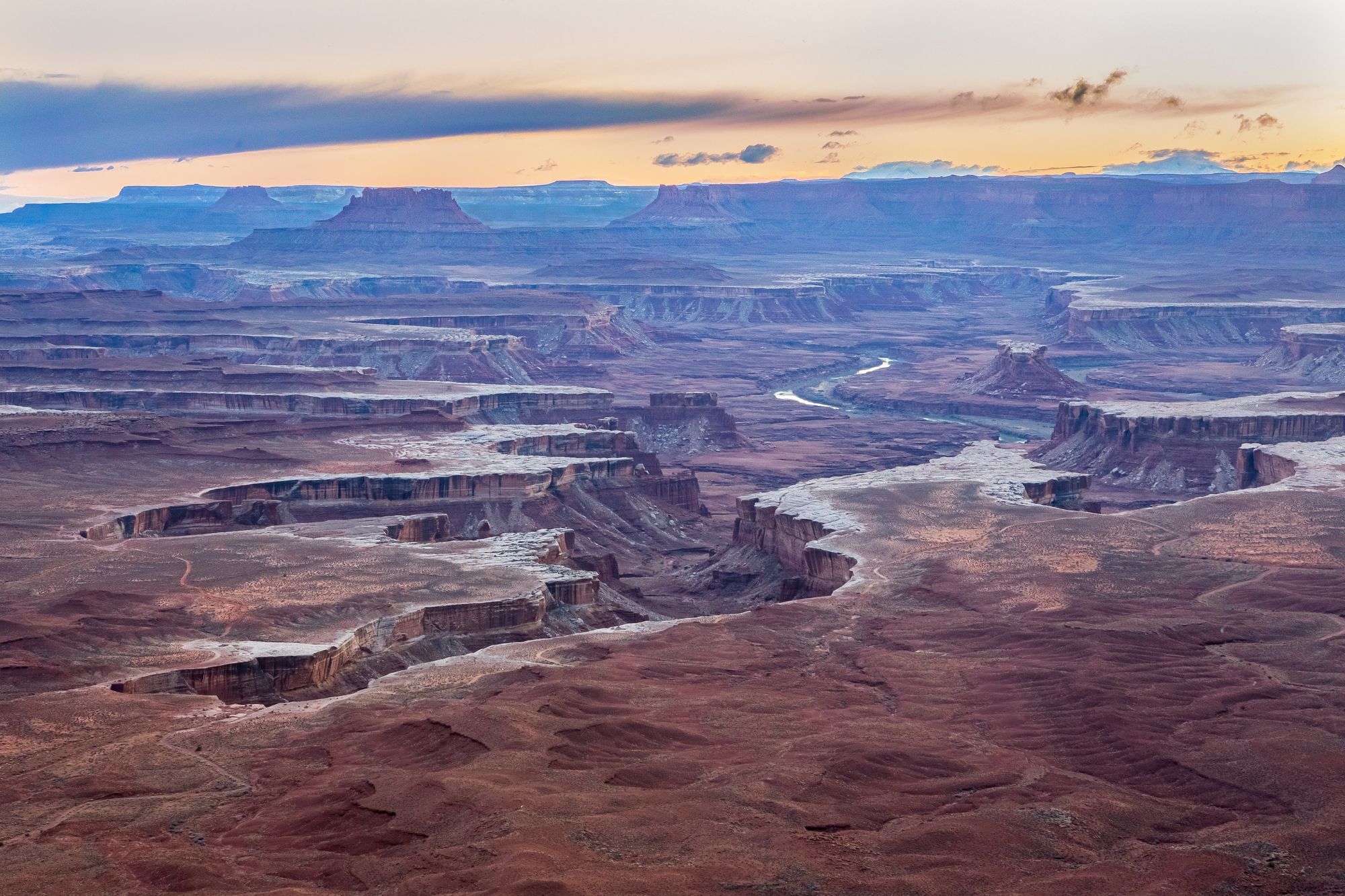
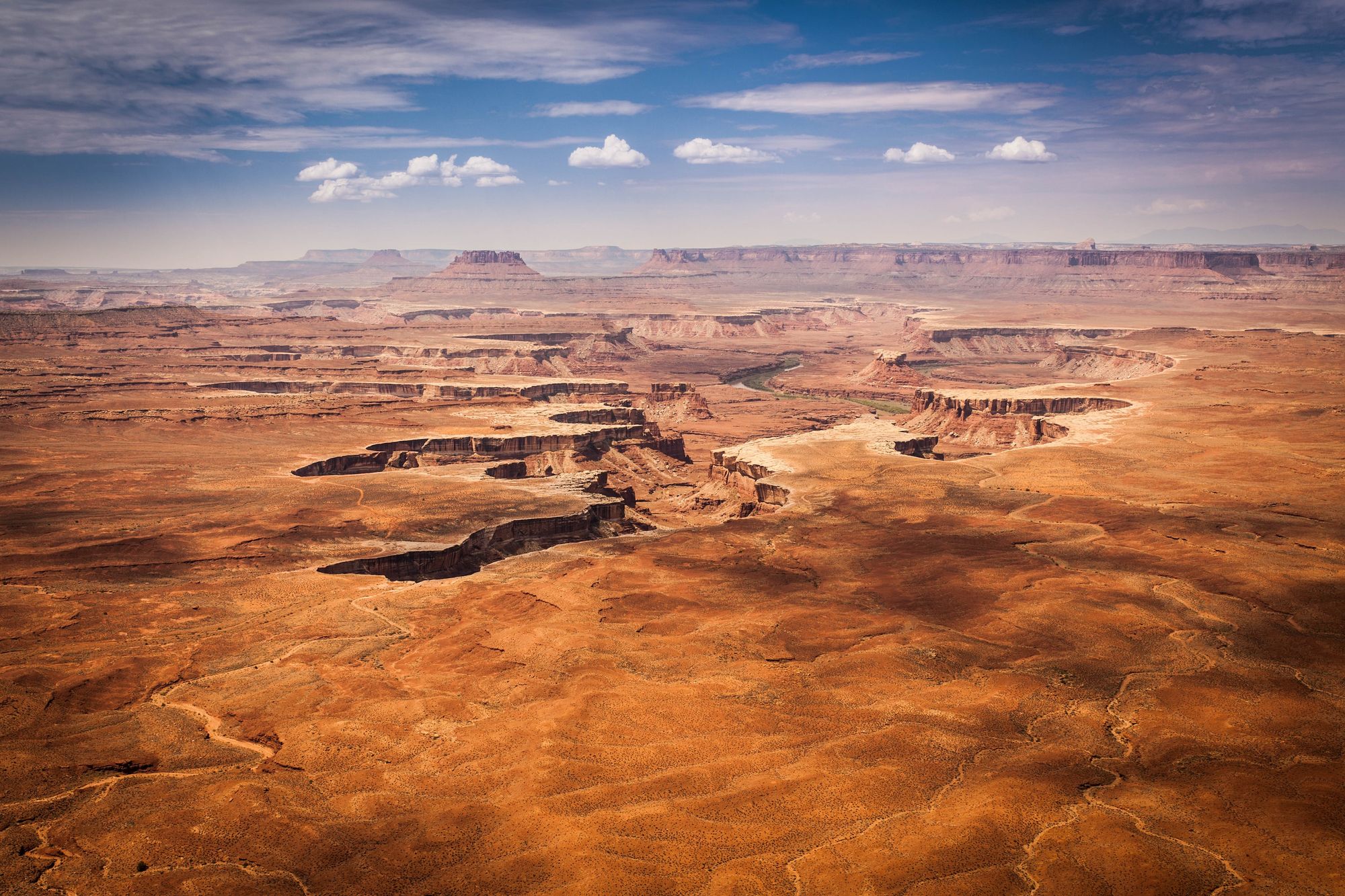
Photos of Canyonlands
Average weather in Canyonlands
 Temp max
|
 Temp min
|
 Rain
Rain
|
 Snow
Snow
|
|
|---|---|---|---|---|
| Jan | 4 °C | -5 °C | 6 mm | 6 mm |
| Feb | 8 °C | -3 °C | 6 mm | 5 mm |
| Mar | 14 °C | 2 °C | 11 mm | 2 mm |
| Apr | 19 °C | 6 °C | 9 mm | 1 mm |
| May | 24 °C | 11 °C | 11 mm | 0 mm |
| Jun | 32 °C | 18 °C | 5 mm | 0 mm |
| Jul | 34 °C | 21 °C | 9 mm | 0 mm |
| Aug | 32 °C | 19 °C | 12 mm | 0 mm |
| Sep | 28 °C | 15 °C | 15 mm | 0 mm |
| Oct | 19 °C | 7 °C | 20 mm | 0 mm |
| Nov | 11 °C | 1 °C | 9 mm | 3 mm |
| Dec | 4 °C | -5 °C | 7 mm | 8 mm |
Other parks nearby
-
 Dead Horse Point State Park23.8 mi (38.4 km)|state park
 -
Utahraptor State Park37.5 mi (60.4 km)|state park
-
 Arches National Park38.5 mi (61.9 km)|national park
 -
Bears Ears National Monument39.6 mi (63.7 km)|national monument
-
Natural Bridges National Monument43.0 mi (69.2 km)|national monument

User Reviews
Share your experience! Your honest feedback helps others make informed decisions.
Login to add new review-
pip
5 out of 5 stars